Lab 9

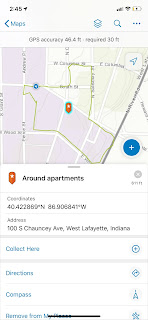
Ground control points are large marked targets on the ground, spaced strategically throughout your area of interest. If you use ground control points with your aerial map, you first need to determine the GPS coordinates at the center of each. The ground control points and their coordinates are then used to help drone mapping software accurately position your map in relation to the real world around it. It might be helpful to think of your GCPs as a series of thumbtacks placed on your drone map. Because the drone mapping software knows the exact location of each of these “thumbtacks”, it can reference their locations when it matches up all of the other points on the map. When used correctly, ground control points greatly improve the global accuracy of your drone map. They help ensure that the latitude and longitude of any point on your map correspond accurately with actual GPS coordinates. This is important in situations where precision mapping and true global accuracy ar...
